

While works continue on the new Fremantle Traffic Bridge, consider leaving the car at home and finding cheaper and more active ways to travel.
Getting around by bike, foot, eRideable or other personal mobility device are great ways to save money and improve your wellbeing, especially for short trips.
For longer trips, you might be able to combine walking or riding with catching a bus or train as part of your journey.
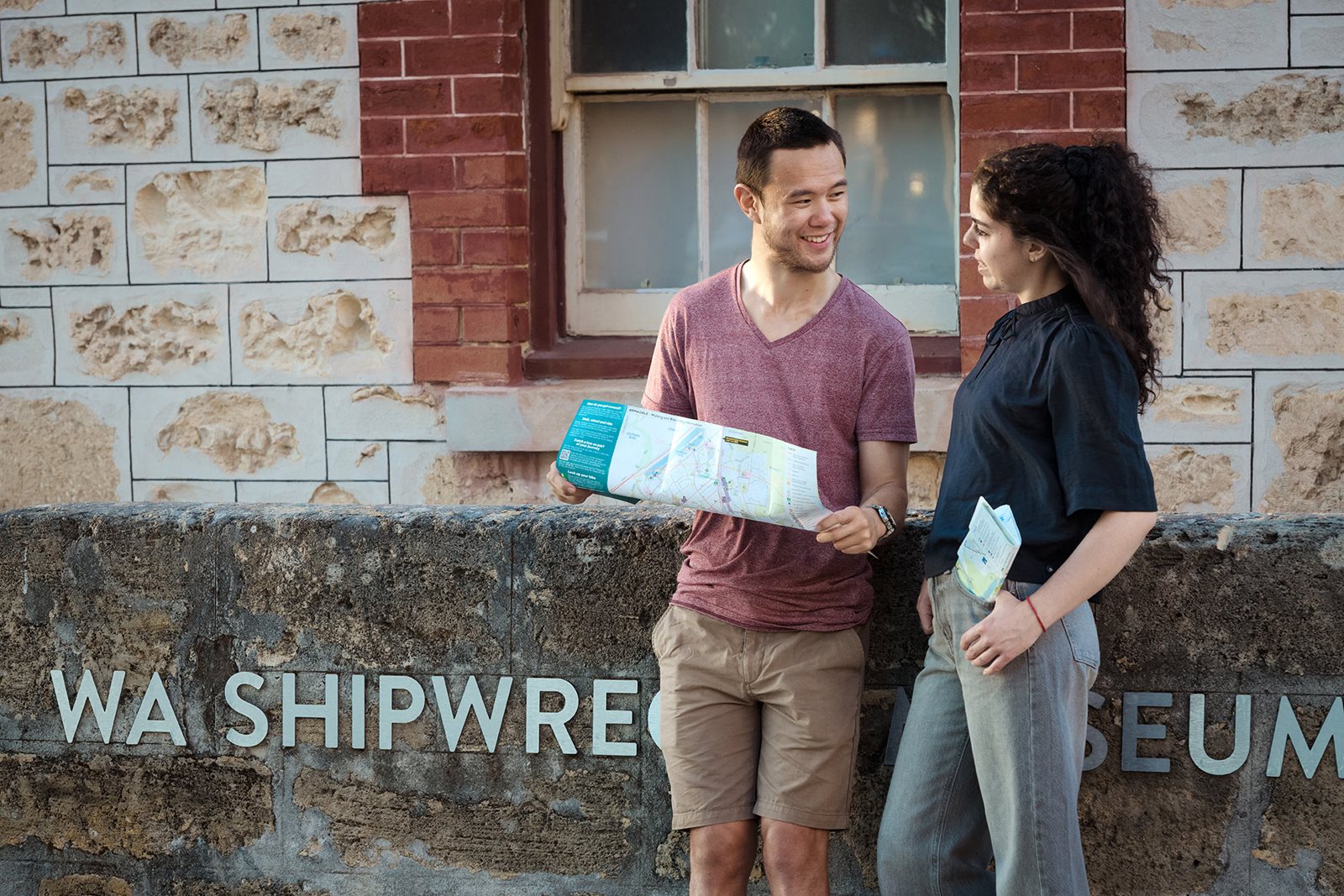
Free community map
A free community map is helping people to walk, wheel and ride around Fremantle and surrounds during the bridge closure.
Aimed at easing congestion in the local area, it identifies walking and bike routes, quiet streets, on-road bike lanes and shared paths, making it easy to plan a safe journey.
Mobile friendly versions of Fremantle North and South maps can be accessed for free to your device via an offline map view: DTMI Avenza maps.*
Public transport
Public transport is cheap and convenient, and new measures have been introduced to help you travel to, from and around our port city.
- Bikes can be taken on trains between Fremantle and North Fremantle during peak periods.
- Additional train and bus services are available.
- Free transit zone along South Terrace between Douro Road and Fremantle Station.
- An additional 100 parking bays are available at Fremantle Station for the duration of the bridge closure.
*You can download the Avenza Maps app from the App Store or Google Play.