Armadale line active travel
Insights and resources for the Department of Transport
Are you impacted by the Armadale train line shut down?
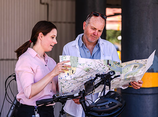
We have a range of maps to help you discover more active and sustainable ways to get around your neighbourhood.
As part of the Department of Transport’s Armadale Line Active Travel project, we are supporting and encouraging locals to consider walking, wheeling and riding, instead of driving for short trips.
The community maps identify walking and bike friendly routes, quiet streets, on-road bicycle lanes and shared paths in and around Armadale, Gosnells, Canning and Victoria Park.
In addition, we are running a number of free local events to help build people’s confidence to ride, as well as offering bike check and maintenance sessions.
The Department is also delivering bike education, rider engagement programs and intensive support to 14 schools impacted by the rail closure.
Visit our Armadale Line Active Travel page to access the maps and for more information.


